Mapping Nature across the Americas
9780226696430
9780226696577
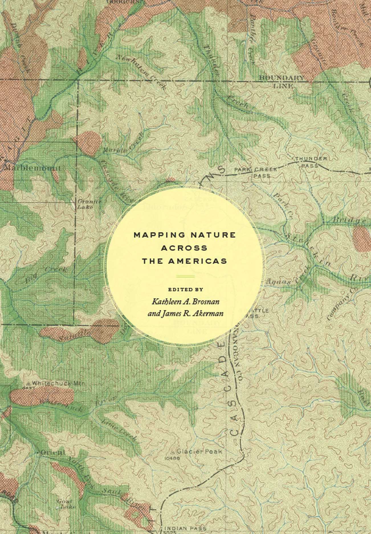
Mapping Nature across the Americas
Maps are inherently unnatural. Projecting three-dimensional realities onto two-dimensional surfaces, they are abstractions that capture someone’s idea of what matters within a particular place; they require selections and omissions. These very characteristics, however, give maps their importance for understanding how humans have interacted with the natural world, and give historical maps, especially, the power to provide rich insights into the relationship between humans and nature over time. That is just what is achieved in Mapping Nature across the Americas. Illustrated throughout, the essays in this book argue for greater analysis of historical maps in the field of environmental history, and for greater attention within the field of the history of cartography to the cultural constructions of nature contained within maps. This volume thus provides the first in-depth and interdisciplinary investigation of the relationship between maps and environmental knowledge in the Americas—including, for example, stories of indigenous cartography in Mexico, the allegorical presence of palm trees in maps of Argentina, the systemic mapping of US forests, and the scientific platting of Canada’s remote lands.
384 pages | 20 color plates, 60 halftones, 2 tables | 7 x 10 | © 2021
Geography: Cartography, Cultural and Historical Geography, Environmental Geography
History: American History, Environmental History
Reviews
Table of Contents
List of Illustrations
Introduction
Kathleen A. Brosnan and James R. Akerman
Part One: People’s Nature
Chapter 1. Staking Claims on Native Lands: The Symbolic Power of Indigenous Cartographic Conventions in the Ayer Map of Teotihuacan Mexico (1560) and Its Copies
Jennifer Saracino
Chapter 2. Into the Interior: Reading the Native Landscape of the Great Lakes in European Maps, 1612–1755
Kelly Hopkins
Chapter 3. Currents of Influence: Indigenous River Names in the American South
Craig E. Colten
Chapter 4. Oysters and Emancipation: The Antebellum Shellfish Industry as a Pathway to Freedom
Michelle Zacks
Part Two: Reinventors’ Nature
Chapter 5. Transcending the Alps in the Andes: Charles Marie de La Condamine, Pierre Bouguer, and the Graphic Invention of the Mountain Range
Ernesto Capello
Chapter 6. On the Trail with Humboldt: Mapping the Orinoco as Transnational Space
Adriana Méndez Rodenas
Chapter 7. Palms and Other Trees on Maps: Exoticism, Error, and Environment, from Old World to New
Brian Bockelman
Chapter 8. Beyond the Map: Landscape, History, and the Routes of Cortés
Raymond B. Craib
Part Three: The State’s Nature
Chapter 9. Nature Knows No Bounds: Mapping Challenges at the US-Mexico Border
Mary E. Mendoza
Chapter 10. Visualizing the Enlarged Homestead Act: Mapping Power and Place in Early Twentieth-Century US Land Policy
Sara M. Gregg
Chapter 11. Mapping Canadian Nature and the Nature of Canadian Mapping
Matt Dyce and Graeme Wynn
Chapter 12. Seeing Forests as Systems: Maps of North American Forest Conditions and the Emergence of Visual-Ecological Thinking
Peter Nekola
Epilogue. The View from across the Pond
Catherine T. Dunlop
Acknowledgments
Appendix: Critical Map Reading for the Environment
List of Contributors
Notes
Index