
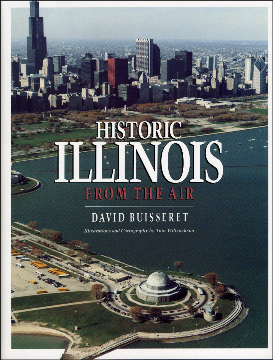
Historic Illinois from the Air

With Illustrations and Cartography by Tom Willcockson
"A distinctive and skillful effort to bring facets of Illinois history to a popular as well as an academic audience."—John Hoffman, Illinois Historical Survey, University of Illinois Library

248 pages | 210 illustrations, 22 line drawings, 75 maps | 8-1/2 x 11 | © 1990

Chicago and Illinois

Geography: Cartography, Cultural and Historical Geography

Table of Contents

List of Illustrations
Introduction
 
1. The Land
2. The Amerindians
3. The French
4. Anglophones in the South
5. The Development of the Northwest
6. The Emergence of Chicago
7. Chicago and the Expansion of the Northeast
8. Railroads in Illinois
9. Chicago Becomes the Second City
10. The Mature City and Its Institutions
11. The State Comes of Age
 
Conclusion
Appendix: Sources and Methods
Bibliography
Index

Awards

Am. Assoc. for State & Local History: American Association for State and Local History
Won

The Geographic Society of Chicago: Geographic Society of Chicago Publication Award
Won

Association of American Geographers: John Brinckerhoff Jackson Prize
Won

Illinois State Historical Society: Russell P. Strange Memorial Book of the Year Award
Won

Be the first to know

Get the latest updates on new releases, special offers, and media highlights when you subscribe to our email lists!

Sign up here for updates about the Press