9781851245192
Distributed for Bodleian Library Publishing
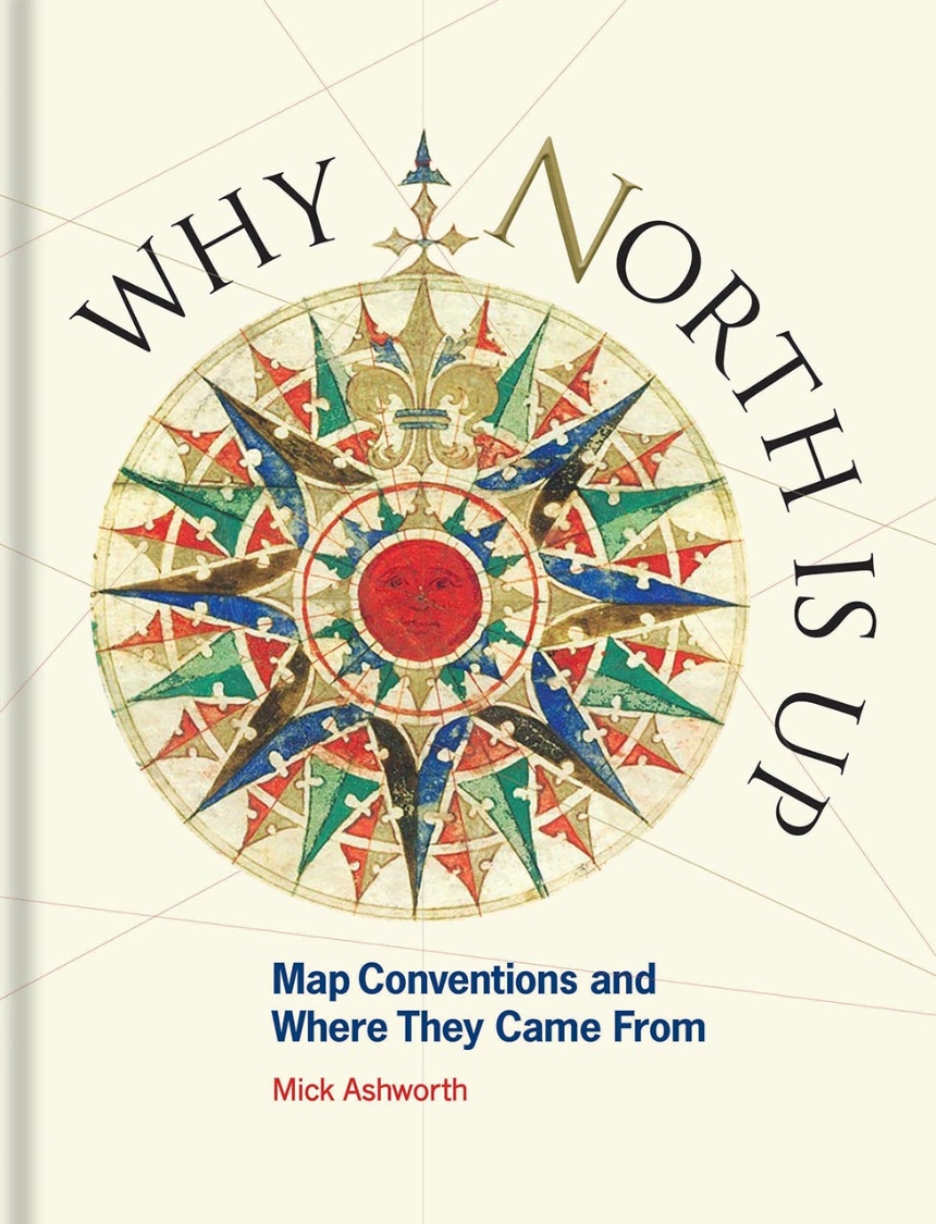
Why North Is Up
Map Conventions and Where They Came From
1st Edition
Many people have a love of maps. But what lies behind the process of map-making? How have cartographers through the centuries developed their craft and established a language of maps which helps them to better represent our world and help users to understand it?
This book tells the story of how widely accepted mapping conventions originated and evolved—from map orientation, projections, typography, and scale, to the use of color, symbols, ways of representing relief, and the treatment of boundaries and place names. It charts the fascinating story of how conventions have changed in response to new technologies and ever-changing mapping requirements, how symbols can be a matter of life or death, why universal acceptance of conventions can be difficult to achieve, and how new mapping conventions are developing to meet the needs of modern cartography. Why North is Up offers an accessible and enlightening guide to the sometimes hidden techniques of map-making through the centuries.
This book tells the story of how widely accepted mapping conventions originated and evolved—from map orientation, projections, typography, and scale, to the use of color, symbols, ways of representing relief, and the treatment of boundaries and place names. It charts the fascinating story of how conventions have changed in response to new technologies and ever-changing mapping requirements, how symbols can be a matter of life or death, why universal acceptance of conventions can be difficult to achieve, and how new mapping conventions are developing to meet the needs of modern cartography. Why North is Up offers an accessible and enlightening guide to the sometimes hidden techniques of map-making through the centuries.

