Eighteenth-century London was a wonder: the second largest city in the world by 1800, its relentless growth, fueled by Britain’s expanding empire, making it a site of constant transformation. And before the age of photography, the only means of creating a visual record of the capital amid that change was through engravings, drawings, and other illustrations, which today are invaluable for understanding what London was like in the period.
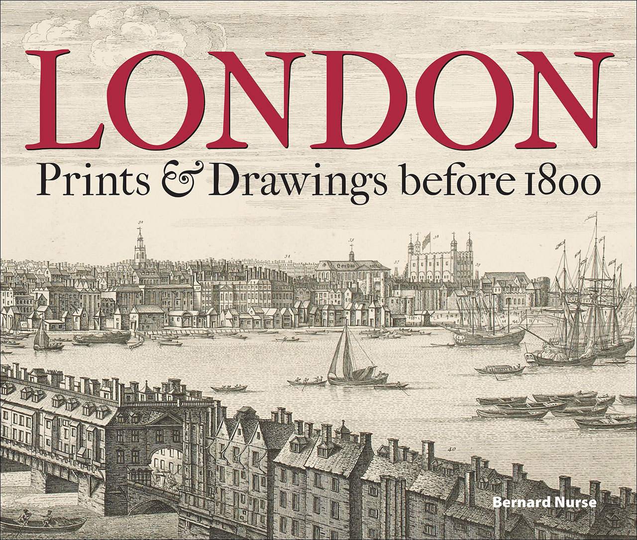
This book presents more than a hundred images of Greater London from before 1800, all from the Gough Collection of the Bodleian Library. We see prints of London before and after the Great Fire, images of the 1780 tornado, panoramas of the Thames, depictions of the building and destruction of landmark bridges, and much more. Making brilliant use of the most extensive collection of London images amassed by any private collector of the period, the book will be essential to anyone delving into the history of the city.
This book presents more than a hundred images of Greater London from before 1800, all from the Gough Collection of the Bodleian Library. We see prints of London before and after the Great Fire, images of the 1780 tornado, panoramas of the Thames, depictions of the building and destruction of landmark bridges, and much more. Making brilliant use of the most extensive collection of London images amassed by any private collector of the period, the book will be essential to anyone delving into the history of the city.
Table of Contents
Acknowledgements
Introduction
Topographical prints and drawings in the eighteenth century
Richard Gough (1735-1809): ‘the Father of British Topography’
I. Maps of London
II. The City of London
III. The Buck brothers’ panorama of London and Westminster, 1749
IV. Westminster
V. The Thames
VI. The environs of Georgian London
VII. London life: illustrating the news
Appendix I: Letters of Richard Gough
Appendix II: Using the Gough Collection
Notes
Bibliography
Picture sources
Index