Distributed for Reaktion Books

Cartographic Encounters

Indigenous Peoples and the Exploration of the New World

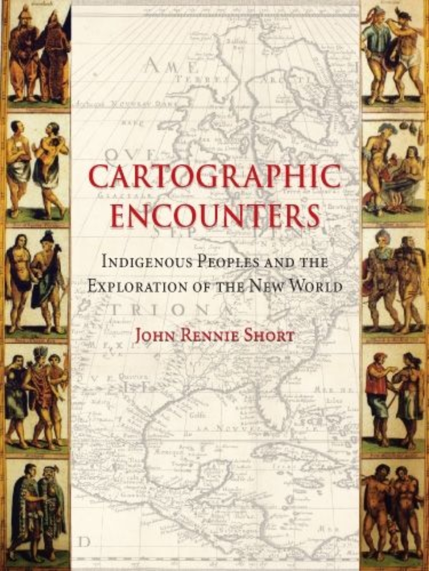
There’s no excuse for getting lost these days—satellite maps on our computers can chart our journey in detail and electronics on our car dashboards instruct us which way to turn. But there was a time when the varied landscape of North America was largely undocumented, and expeditions like that of Lewis and Clark set out to map its expanse. As John Rennie Short argues in Cartographic Encounters, that mapping of the New World was only possible due to a unique relationship between the indigenous inhabitants and the explorers.

            In this vital reinterpretation of American history, Short describes how previous accounts of the mapping of the new world have largely ignored the fundamental role played by local, indigenous guides. The exchange of information that resulted from this “cartographic encounter” allowed the native Americans to draw upon their wide knowledge of the land in the hope of gaining a better position among the settlers.

            This account offers a radical new understanding of Western expansion and the mapping of the land and will be essential to scholars in cartography and American history.

224 pages | 35 halftones | 6 x 8.4 | © 2009

History: Discoveries and Exploration


Reaktion Books image

View all books from Reaktion Books

Reviews

"This is a book of map and voyage appropriately available to a wide readership. Forty-nine illustrations, including early maps, persons, and scenes, meld with references, bibliography, and index to educate and entertain those interested in understanding something of the cartographic history that evolved twixt natives and European colonists in the New World."

G. J. Martin | Choice

"While based on obvious deep scholarship, the book retains a flowing conversational style that is accessible to all, thereby rendering its notions even more powerful and potentially far-reaching. It is, in short, a delight to read . . . richly illustrated and attractively produced . . . Cartographic Encounters succeeds in what it has set out to accomplish, and not only positions discovery and exploration within critical historiography but awakens as well our sense of justice and long-overdue attribution." –Globe

Globe

"This short, richly illustrated book describes the historically undervalued role that natives played in providing geographical intelligence to U.S. colonizers . . . a popular, accessible introduction to an often-overlooked issue."–Journal of Interdisciplinary History

Journal of Interdisciplinary History

Table of Contents

Part One:  Introduction
   1   Creation Myths and Cartographic Encounters
   2   Amerindian Mappings
 
Part Two: Colonial Cartographies
   3   Encounters in a Settled Land
   4   Landing in a Strange Land
 
Part Three: Imperial Cartographies
   5   Surveying the West: Lewis and Clark...and Others
   6   Expedition into the ’Desert’
   7   Fremont and Tah-Kai-Buhl
   8   ’Warren’s Map’
   9   Closing the Frontier in the West
 
Part Four: Conclusions
   10  Cartographic Encounters in Australia
   11  Journey’s End
 
Appendix: Composite Journeys
 
References
Bibliography
Acknowledgements
Photographic Acknowledgements
Index

Be the first to know

Get the latest updates on new releases, special offers, and media highlights when you subscribe to our email lists!

Sign up here for updates about the Press