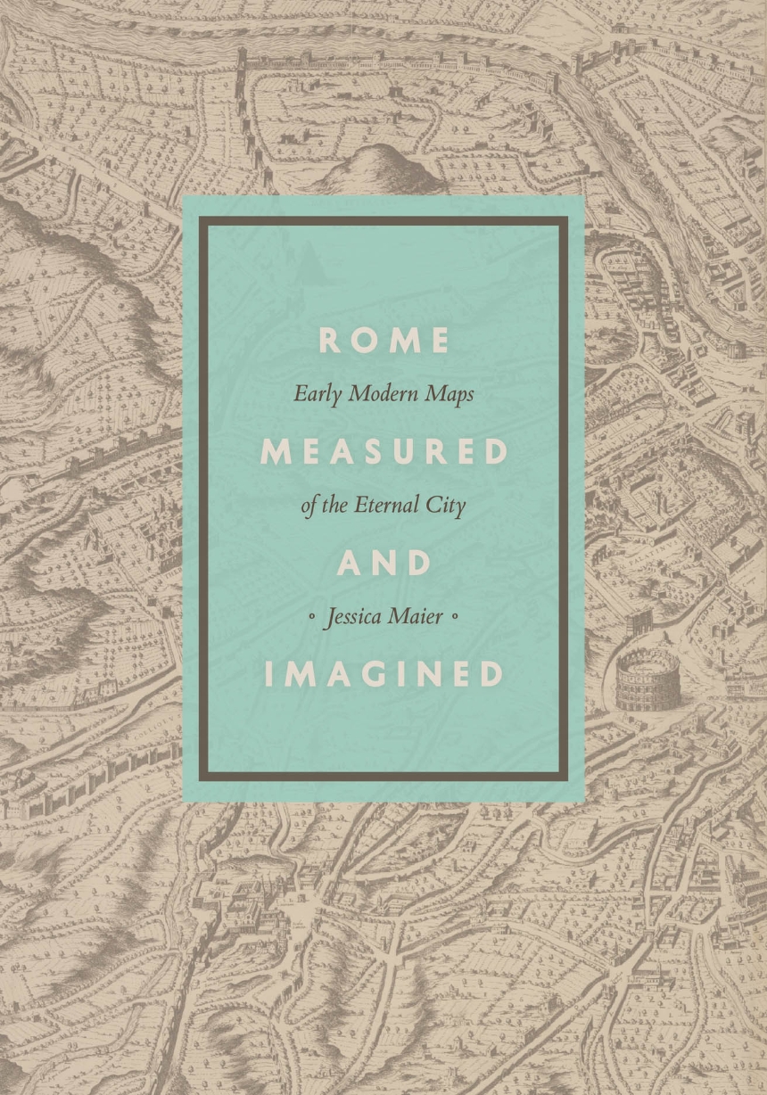
Rome Measured and Imagined
Early Modern Maps of the Eternal City
At the turn of the fifteenth century, Rome was in the midst of a dramatic transformation from what the fourteenth-century poet Petrarch had termed a “crumbling city” populated by “broken ruins” into a prosperous Christian capital. Scholars, artists, architects, and engineers fascinated by Rome were spurred to develop new graphic modes for depicting the city—and the genre known as the city portrait exploded.
In Rome Measured and Imagined, Jessica Maier explores the history of this genre—which merged the accuracy of scientific endeavor with the imaginative aspects of art—during the rise of Renaissance print culture. Through an exploration of works dating from the fifteenth to the eighteenth centuries, her book interweaves the story of the city portrait with that of Rome itself.
Highly interdisciplinary and beautifully illustrated with nearly one hundred city portraits, Rome Measured and Imagined advances the scholarship on Renaissance Rome and print culture in fascinating ways.
264 pages | 12 color plates, 84 halftones | 7 x 10 | © 2015
Art: European Art
Geography: Cartography
History: European History
Reviews
Table of Contents
Acknowledgments
Introduction
“Icarus Spreading His Wings”: The Early Modern City Brought to Life
Chapter One
Toward a New City Image: Leon Battista Alberti’s Descriptio urbis Romae (ca. 1450) and Francesco Rosselli’s Lost View of Rome (ca. 1485–90)
Late Medieval Origins
Alberti’s Survey of Rome
Rosselli’s Rome in Twelve Sheets
Chapter Two
Putting Rome into Drawing: The Lessons of Architecture and Antiquity in the Early 1500s
Raphael’s Call to Preserve, Measure, and Draw the Ruins
Raphael’s Larger Goals and Audience
Drawn from the Grave: Illustrated Works on Ancient Rome after Raphael
Pictorialism Revisited
Chapter Three
Syntheses: Leonardo Bufalini’s Plan of Rome (1551)
Origins, Form, and Function of Bufalini’s Plan
Bufalini’s Background and Intended Audience
Bufalini and the Art of Surveying
Ancient and Modern in Bufalini’s Map
The Early Reception and Influence of Bufalini’s Map
The Modern Reception of Bufalini’s Map
Chapter Four
Antitheses: Ancient and Modern Rome in Sixteenth-Century Imagery
Bartolomeo Marliani, Pirro Ligorio, and the “Memory of Ancient Things”
Stefano Du Pérac, the Ancient Forma urbis, and the City Renewed
Mario Cartaro and the Paragone of Ancient and Modern
Roman Print Culture, Dissemination, and the Market
Chapter Five
“Before the Eyes of the Whole World”: The City Writ Large, 1593–1676
Antonio Tempesta’s Prospectus and Its Progeny: Painterly Approaches to the Reenergized City
Matteo Greuter, Giovanni Battista Falda, and Architectural Approaches to Seventeenth-Century Rome
Epilogue
The Eternal City Measured and Imagined
Notes
Index
