The Mapping of New Spain
Indigenous Cartography and the Maps of the Relaciones Geograficas
9780226550978
The Mapping of New Spain
Indigenous Cartography and the Maps of the Relaciones Geograficas
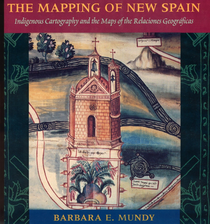
To learn about its territories in the New World, Spain commissioned a survey of Spanish officials in Mexico between 1578 and 1584, asking for local maps as well as descriptions of local resources, history, and geography. In The Mapping of New Spain, Barbara Mundy illuminates both the Amerindian (Aztec, Mixtec, and Zapotec) and the Spanish traditions represented in these maps and traces the reshaping of indigene world views in the wake of colonization.
"Its contribution to its specific field is both significant and original. . . . It is a pure pleasure to read." —Sabine MacCormack, Isis
"Mundy has done a fine job of balancing the artistic interpretation of the maps with the larger historical context within which they were drawn. . . . This is an important work." —John F. Schwaller, Sixteenth Century Journal
"This beautiful book opens a Pandora’s box in the most positive sense, for it provokes the reconsideration of several long-held opinions about Spanish colonialism and its effects on Native American culture." —Susan Schroeder, American Historical Review
306 pages | 8 page color gallery, 83 halftones, 30 line drawings, 4 tables | 8-1/2 x 9-1/4 | © 2000
Geography: Cartography, Cultural and Historical Geography
History: Latin American History
Table of Contents
List of Illustrations
Preface
Acknowledgments
Author’s Note
Ch. 1: Spain and the Imperial Ideology of Mapping
Ch. 2: Mapping and Describing the New World
Ch. 3: Colonial Spanish Officials and the Response to the Relacion
Geografica Questionnaire
Ch. 4: The Native Painters in the Colonial World
Ch. 5: The Native Mapping Tradition in the Colonial Period
Ch. 6: Language and Naming in the Relaciones Geograficas Maps
Ch. 7: The Relaciones Geograficas and Other Viceregal Maps in New Spain
Ch. 8: Conclusion
App. A: Catalogue of Maps Studied
App. B: The Questionnaire of the Relaciones Geograficas
App. C: The Nahuatl Inscriptions of the Macuilsuchil Map
App. D: A Typical Viceregal Acordado
Notes
Bibliography
Index
