Ancient Perspectives
Maps and Their Place in Mesopotamia, Egypt, Greece, and Rome
Ancient Perspectives
Maps and Their Place in Mesopotamia, Egypt, Greece, and Rome
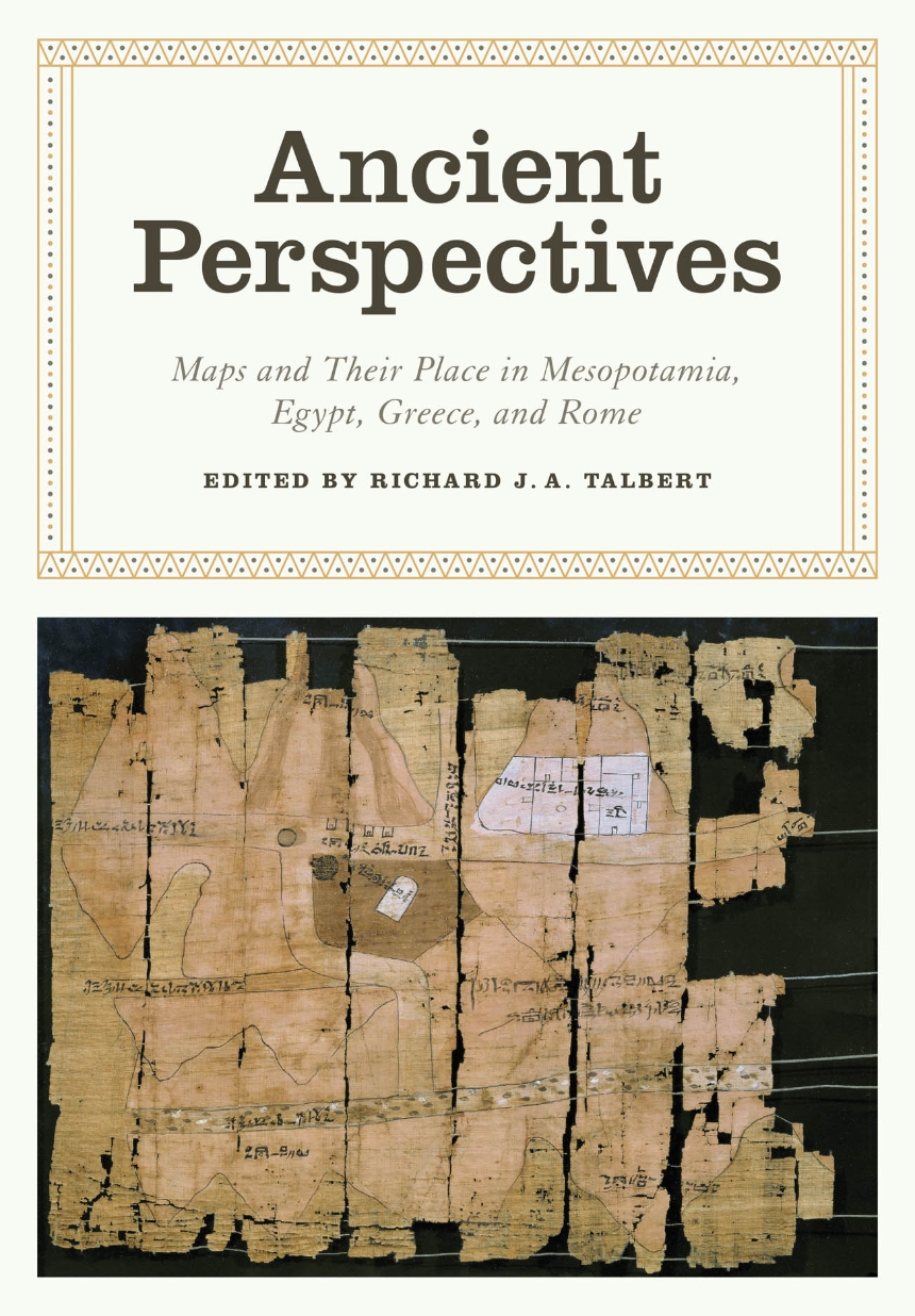
Ancient Perspectives encompasses a vast arc of space and time—Western Asia to North Africa and Europe from the third millennium BCE to the fifth century CE—to explore mapmaking and worldviews in the ancient civilizations of Mesopotamia, Egypt, Greece, and Rome. In each society, maps served as critical economic, political, and personal tools, but there was little consistency in how and why they were made. Much like today, maps in antiquity meant very different things to different people.
280 pages | 9 color plates, 82 halftones, 34 line drawings, 2 tables | 7 x 10 | © 2012
The Kenneth Nebenzahl Jr. Lectures in the History of Cartography
Geography: Cartography
History: Ancient and Classical History
Reviews
Table of Contents
Introduction
by Richard J. A. Talbert
1. The Expression of Terrestrial and Celestial Order in Ancient Mesopotamia
by Francesca Rochberg
2. From Topography to Cosmos: Ancient Egypt’s Multiple Maps
by David O’Connor
3. Mapping the World: Greek Initiatives from Homer to Eratosthenes
by Georgia L. Irby
4. Ptolemy’s Geography: Mapmaking and the Scientific Enterprise
by Alexander Jones
5. Greek and Roman Surveying and Surveying Instruments
by Michael Lewis
6. Urbs Roma to Orbis Romanus: Roman Mapping on the Grand Scale
by Richard J. A. Talbert
7. Putting the World in Order: Mapping in Roman Texts
by Benet Salway
Bibliography
Contributors
Index
