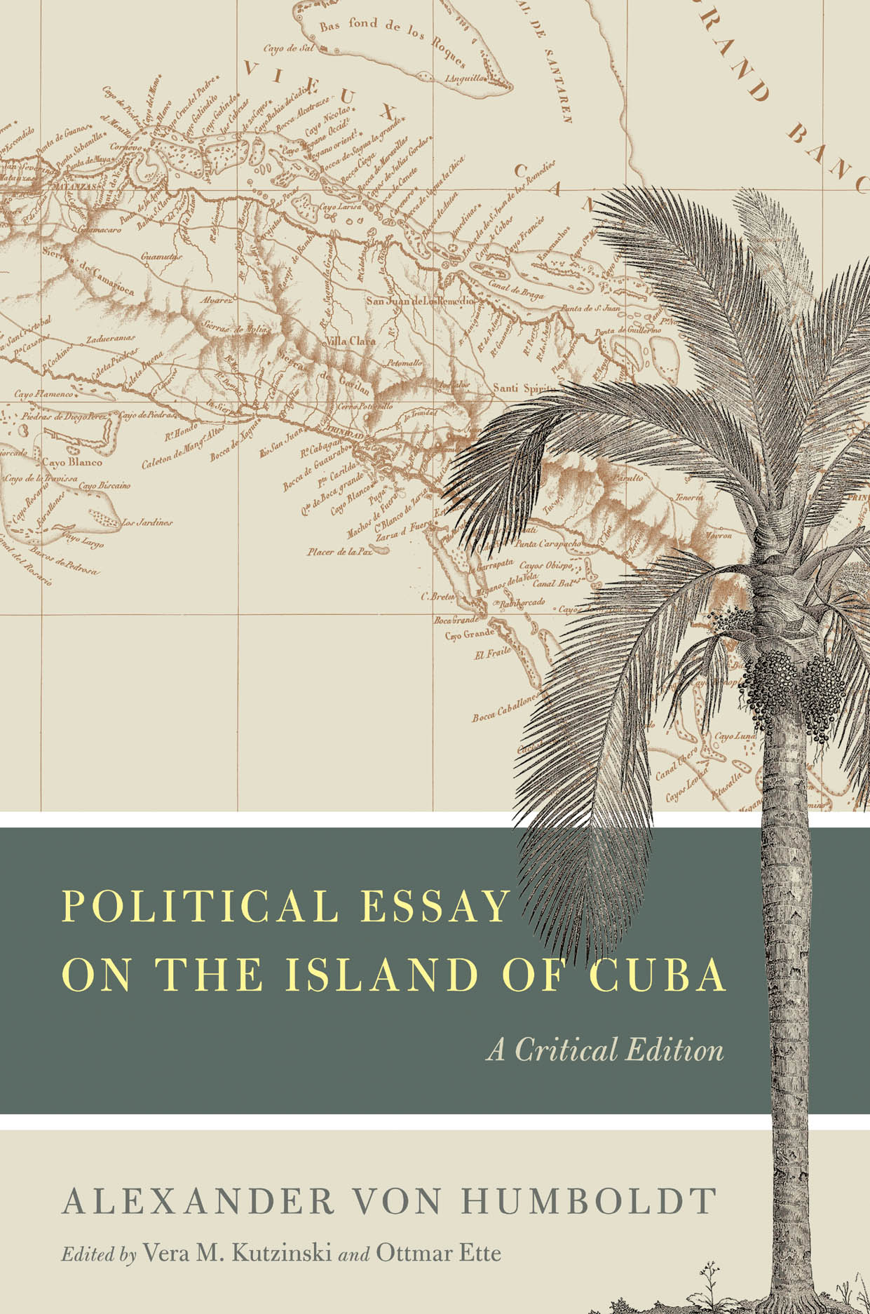
Mapping Cuba
Alexander von Humboldt determined the exact geographical positions of Cuba’s towns and cities and charted its coastline with unparalleled precision. By updating and correcting earlier maps, he gave Cuba the shape that it still has on maps today.
Humboldt drew two maps of Cuba. The first is dated 1820; the second is a corrected version from 1826. He printed both in his Atlas géographique et physique des régions équinoxiales du Nouveau Continent, fondé sur des observations astronomiques, des mesures trigonométriques et des nivellemens barométriques (Paris: Libraire de Gide, 1814-38), a version reissued in connection with the Examen Critique de L’Histoire de la Géographie du Nouveau Continent et des Progrès de l’astronomie Nautique aux Quinzième et Seizième siècles (Paris: Librairie de Gide, 1836-39).
Further Readings
Dettelbach, Michael. “The Face of Nature: Precise Measurement, Mapping, and Sensibility in the Work of Alexander von Humboldt.” Studies in History and Philosophy of Science Part C: Studies in History and Philosophy of Biological and Biomedical Sciences 30.4 (December 1999): 473-504.
Harley, John B., and Paul Laxton. The New Nature of Maps: Essays in the History of Cartography. Baltimore: Johns Hopkins University Press, 2002.
Livingstone, David N., and Charles W. J. Withers, eds. Geography and Enlightenment. Chicago: University of Chicago Press, 1999.
Short, John R. Cartographic Encounters: Indigenous Peoples and the Exploration of the New World. London: Reaktion, 2009.
Wilford, John Noble. The Mapmakers: The Story of the Great Pioneers in Cartography—from Antiquity to the Space Age. Rev. ed. London: Pimlico, 2002.
;)
;)