HOC PDFs Home | shopping cartShopping Cart | The University of Chicago Press Home

Creative Commons license graphic by-nc-nd

Volume Three (Part 2)

Cartography in the European Renaissance

Edited by David Woodward

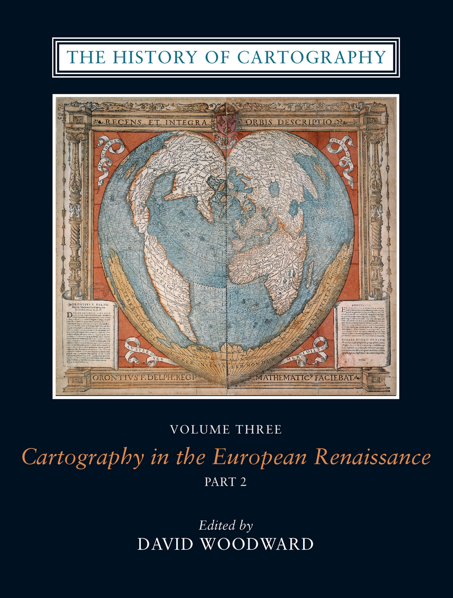
cover image

Volume 3, Part 2

Buy the book


PART TWO

Front Matter

Gallery of Color Illustrations (Plates 41–56)
Gallery of Color Illustrations (Plates 57–80)

German Lands

42. Cartography in the German Lands, 1450–1650
Peter H. Meurer

Low Countries

43. Surveying and Official Mapping in the Low Countries, 1500–ca. 1670
Cornelis Koeman and Marco van Egmond

44. Commercial Cartography and Map Production in the Low Countries, 1500–ca. 1672
Cornelis Koeman, Günter Schilder, Marco van Egmond, and Peter van der Krogt

45. Maritime Cartography in the Low Countries during the Renaissance
Günter Schilder and Marco van Egmond

46. Mapping the Dutch World Overseas in the Seventeenth Century
Kees Zandvliet

France

47. Maps and Descriptions of the World in Sixteenth-Century France
Frank Lestringant and Monique Pelletier

48. National and Regional Mapping in France to About 1650
Monique Pelletier

49. French Cartography: The ingénieurs du roi, 1500–1650
David Buisseret

50. Representations of Territory by Painters, Engineers, and Land Surveyors in France during the Renaissance
Monique Pelletier

51. The Mapping of Samuel de Champlain, 1603–1635
Conrad E. Heidenreich

52. Marine Cartography and Navigation in Renaissance France
Sarah Toulouse

53. Publishing and the Map Trade in France, 1470–1670
Catherine Hofmann

British Isles

54. Mapmaking in England, ca. 1470–1650
Peter Barber

55. Colonial Cartography in a European Setting: The Case of Tudor Ireland
J. H. Andrews

56. The Kingdom of Scotland: Cartography in an Age of Confidence
Jeffrey Stone

57. The London Map Trade to 1640
Laurence Worms

58. Chartmaking in England and Its Context, 1500–1660
Sarah Tyacke

59. Colonial Cartography under the Tudor and Early Stuart Monarchies, ca. 1480–ca. 1640
Robert C. D. Baldwin

Scandinavia

60. Scandinavian Renaissance Cartography
William R. Mead

East-Central Europe

61. Renaissance Cartography in East-Central Europe, ca. 1450–1650
Zsolt Török

Russia

62. Russian Cartography to ca. 1700
L. A. Goldenberg

Editor and Authors

Bibliographical Index

General Index
Margie Towery


The History of Cartography, Volume 3
Cartography in the European Renaissance
Edited by David Woodward
©1987-2020 | Boxed Set | 2,252 pages | 80 color plates, 815 halftones, 150 line drawings, 20 tables | 8½×11
The History of Cartography Series

For information on purchasing the book—from bookstores or here online—please go to the webpage for The History of Cartography, Volume 3.


See also: