Decolonizing the Map

Cartography from Colony to Nation

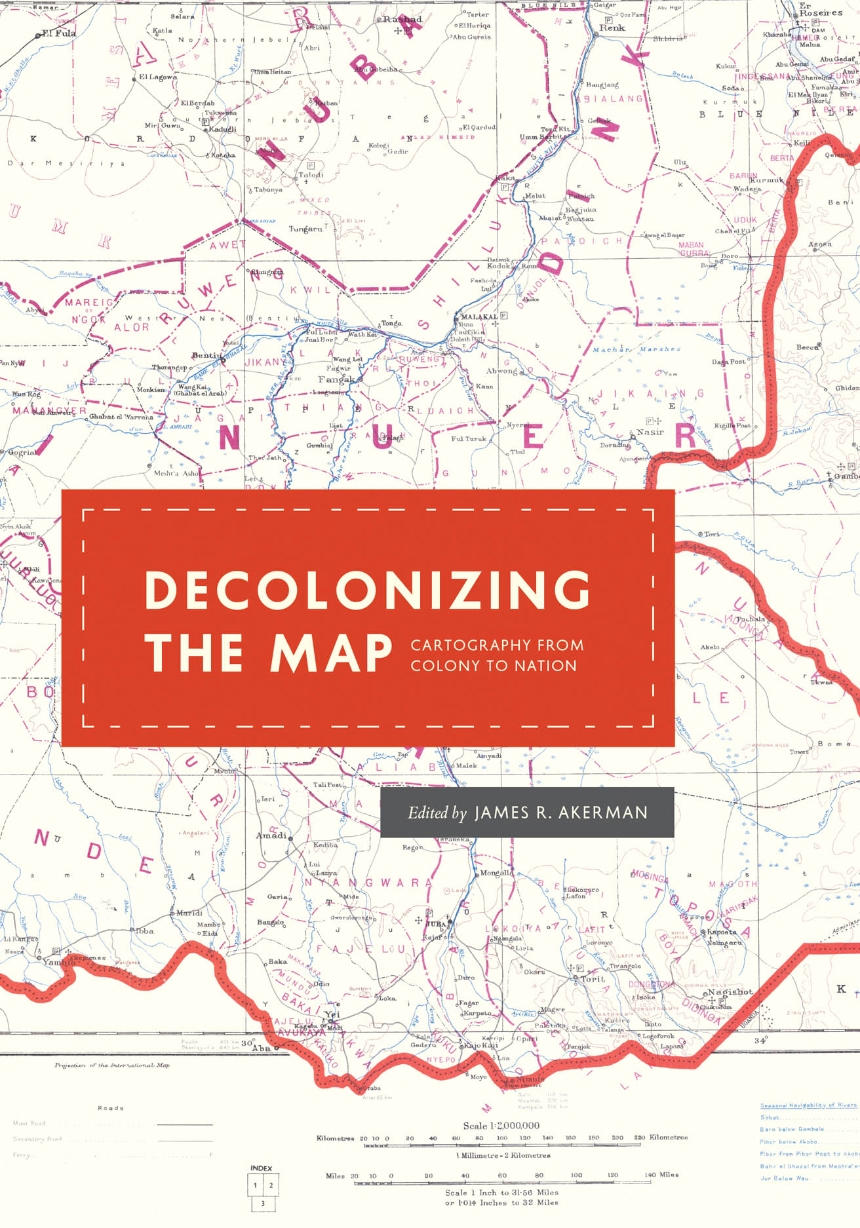
Almost universally, newly independent states seek to affirm their independence and identity by making the production of new maps and atlases a top priority. For formerly colonized peoples, however, this process neither begins nor ends with independence, and it is rarely straightforward. Mapping their own land is fraught with a fresh set of issues: how to define and administer their territories, develop their national identity, establish their role in the community of nations, and more. The contributors to Decolonizing the Map explore this complicated relationship between mapping and decolonization while engaging with recent theoretical debates about the nature of decolonization itself.
 
These essays, originally delivered as the 2010 Kenneth Nebenzahl, Jr., Lectures in the History of Cartography at the Newberry Library, encompass more than two centuries and three continents—Latin America, Africa, and Asia. Ranging from the late eighteenth century through the mid-twentieth, contributors study topics from mapping and national identity in late colonial Mexico to the enduring complications created by the partition of British India and the racialized organization of space in apartheid and post-apartheid South Africa. A vital contribution to studies of both colonization and cartography, Decolonizing the Map is the first book to systematically and comprehensively examine the engagement of mapping in the long—and clearly unfinished—parallel processes of decolonization and nation building in the modern world.

Reviews

"Decolonizing the Map is a welcome contribution to scholarship on the history of cartography and will be of interest not only to historians of cartography but also to scholars of colonialism, decolonization, nationalism, and the politics of mapping. Each of the chapters is meticulously researched, well written, and accompanied by a rich variety of historical map images. . . . Overall, Decolonizing the Map is an exceptionally well-curated collection of historical-geographical scholarship on the countervailing forces at work in the history of nationalizing the map."

Journal of Modern History

“Excellent scholarship permeates every chapter of Decolonizing the Map. The essays collected here by Akerman are subtle, tightly argued, and carefully crafted; the standard of analysis and exposition is uniformly high. This fascinating volume will be widely read and enthusiastically received by a readership spanning political history, historical geography, and, of course, the history of cartography.”

Michael Heffernan, University of Nottingham

Decolonizing the Map examines how maps were used before and after independence movements to establish new nations that emerged in the lengthy decolonization process. In different contexts, the contributors reveal not only how maps served as a basis for the construction of those nations but also how they were reflections of those recently emerged entities, condensing all the characteristics and contradictions of each process. This book is a pioneering intellectual enterprise—a highly recommended and welcome contribution to the field.”

Júnia Ferreira Furtado, Federal University of Minas Gerais

"This book contains an outstanding collection of chapters on diverse cases and issues connecting mapping with colonialism, decolonization, and postcolonial statehood. It represents a great example of how an edited volume can simultaneously contribute to broad thematic questions and to narrower topics. In fact, each chapter would serve well as an overview text on its specific area, and many of them represent fundamental empirical contributions in their own right."
 

New Global Studies

Table of Contents

Acknowledgments
Introduction       James R. Akerman

Chapter 1            Cartography and Decolonization
Raymond B. Craib

Chapter 2            Entangled Spaces: Mapping Multiple Identities in Eighteenth-Century New Spain
Magali Carrera

Chapter 3            Cartography in the Production (and Silencing) of Colombian Independence History, 1807–1827
Lina del Castillo

Chapter 4            Democratizing the Map: The Geo-body and National Cartography in Guatemala, 1821–2010
Jordana Dym

Chapter 5            Uncovering the Roles of African Surveyors and Draftsmen in Mapping the Gold Coast, 1874–1957
Jamie McGowan

Chapter 6            Multiscalar Nations: Cartography and Countercartography of the Egyptian Nation-State
Karen Culcasi

Chapter 7            Art on the Line: Cartography and Creativity in a Divided World
Sumathi Ramaswamy

Chapter 8            Signs of the Times: Commercial Road Mapping and National Identity in South Africa
Thomas J. Bassett

Contributors
Index
Be the first to know

Get the latest updates on new releases, special offers, and media highlights when you subscribe to our email lists!

Sign up here for updates about the Press